
Every farm that irrigates from the Colorado River, or from a canal fed by it, is running on rules with an expiration date. The 2007 Interim Guidelines that set how Lake Powell and Lake Mead are operated, and the 2019 Drought Contingency Plans layered on top of them, are scheduled to expire at the end of 2026. The Bureau of Reclamation has said it will decide what replaces them before October 1, 2026, the start of the 2027 water year. As of early June, the seven basin states have not agreed on a replacement, and the river has just come through the worst snow season anyone has measured.
How the river is divided
The Colorado is run under a stack of compacts, laws, court decrees and agreements that water people call the Law of the River. The foundation is the 1922 Colorado River Compact, which split the basin in two at Lee Ferry, a point on the main stream one mile below the mouth of the Paria River, and gave each half 7.5 million acre-feet a year. The 1928 Boulder Canyon Project Act divided the Lower Basin share: 4.4 million acre-feet to California, 2.8 million to Arizona and 0.3 million to Nevada. A 1944 treaty committed 1.5 million acre-feet a year to Mexico. The 1948 Upper Colorado River Basin Compact split the upper share by percentage: Colorado 51.75 percent, Utah 23 percent, Wyoming 14 percent and New Mexico 11.25 percent.
Add it up and the paper entitlements come to 16.5 million acre-feet. The river has not delivered that in a long time. Reclamation's own draft environmental study puts the 20-year average natural flow at Lees Ferry at 12.7 million acre-feet as of 2025. That gap is the whole argument.
One more piece matters for farmers in Arizona. The 1968 Colorado River Basin Project Act that authorized the Central Arizona Project made CAP's supply subordinate to California's apportionment in times of shortage. That is why, under the current shortage rules, Arizona and Nevada are the states required to make drought-plan contributions in 2026, and why farms on Central Arizona Project water sit closest to the cuts.
Why agriculture holds most of the water
Reclamation says agricultural uses depend on 70 percent of Colorado River water, while 35 to 40 million people rely on it for some or all of their municipal supply. A 2024 accounting published in Communications Earth & Environment broke the numbers down further. Over 2000 to 2019, irrigated agriculture accounted for 74 percent of direct human water use and 52 percent of all water consumed in the basin, once reservoir evaporation (11 percent) and riparian and wetland vegetation (19 percent) are counted. Cattle feed crops, mainly alfalfa and other hay, took 46 percent of all direct human consumption on their own.
Those are not villain numbers; they describe a region where senior rights were earned by putting water to use first. Nationally, irrigation is 47 percent of freshwater withdrawals, and farms with some irrigation produce more than half the value of US crop sales, according to USDA's Economic Research Service. But the arithmetic is unavoidable: when the river has to shrink by millions of acre-feet, the only place that much water exists is on farms.
Where the reservoirs stood this spring
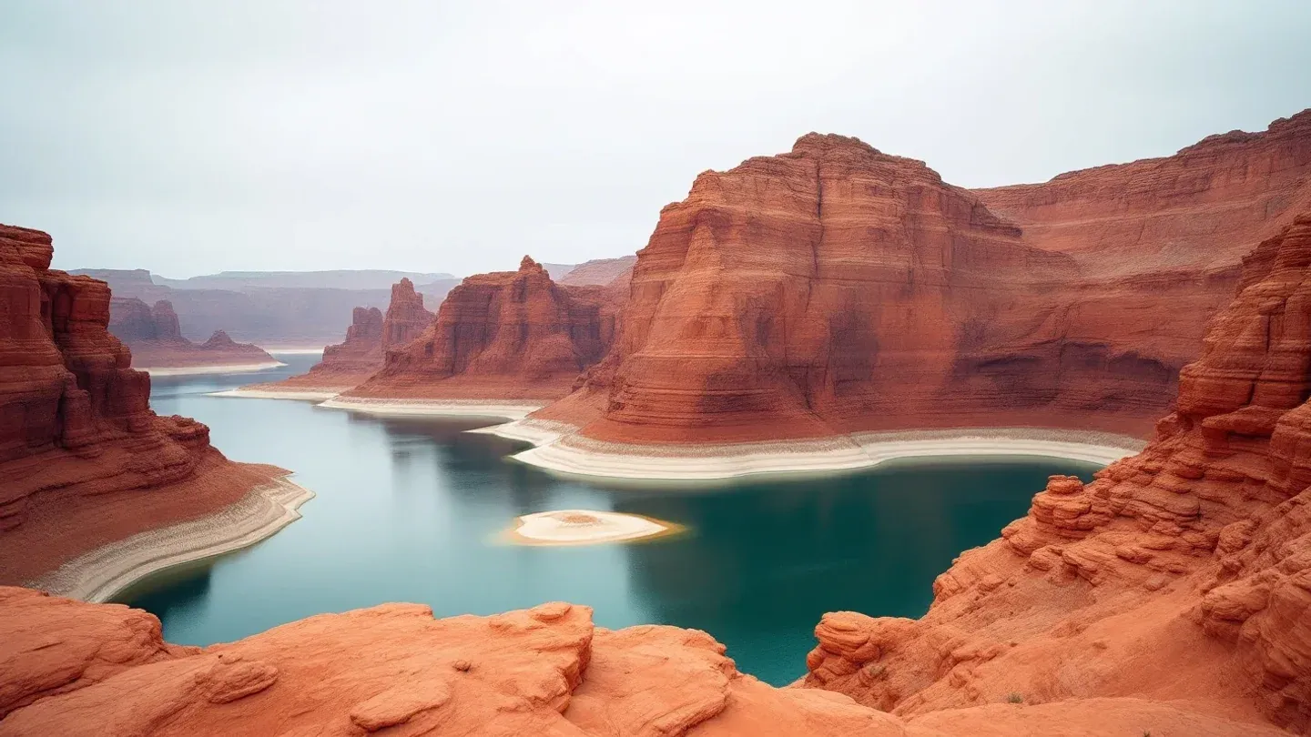
Reclamation reported on April 17 that long-term drought, the lowest snowpack on record and record March heat had cut total system storage to about 36 percent of capacity. Colorado had its worst snowpack since statewide records began in 1941, the Associated Press reported in early April; the mountain snow peaked a month early with about half its normal moisture, and ranchers in Colorado's North Park and Yampa valleys were watching ponds and ditches go dry, irrigating meadows earlier than they ever had and planning hay purchases. Our 2019 look at sustainable agriculture in Colorado reads differently after a winter like this one.
The runoff numbers that followed were grim. In Reclamation's May 2026 24-Month Study, April inflow to Lake Powell came in at 41 percent of the 30-year average, the May forecast was 9 percent, and the April through July forecast was 0.8 million acre-feet, or 13 percent of average. Lake Powell ended April at 3,526 feet, about 36 feet above the minimum level at which Glen Canyon Dam can generate power. Reclamation had warned in April that Powell could fall below that level by August without major intervention.
So Interior intervened. Using a provision from the 2024 supplemental decision that allows releases to be reduced to 6.0 million acre-feet to keep Powell above 3,500 feet, Reclamation cut this year's release from Lake Powell from 7.48 to 6.0 million acre-feet, and planned to send 660,000 to 1 million acre-feet down from Flaming Gorge in Wyoming and Utah by April 2027. The May study projects Powell near 3,511 feet at the end of September and about 3,504 feet at the end of December.
Water held back in Powell does not reach Lake Mead. Mead ended May at 1,050 feet, seven feet lower than a year earlier, and the May study has it around 1,037 feet by autumn. Reclamation warned that the reduced Powell releases could cut Hoover Dam's generating capacity by up to an additional 40 percent as early as this fall.
The post-2026 rules: where the process stands
Reclamation opened the formal process in June 2023 and released its draft environmental impact statement on January 9, 2026. The public comment period closed March 2. The draft analyzes five alternatives and, deliberately, names no preferred one, to leave room for a deal among the states.
The executive summary is worth a farmer's hour. The No Action alternative reverts to annual decisions with Lower Basin shortages capped at 600,000 acre-feet. Basic Coordination, which Reclamation built as the fallback it could run without any new agreement, keeps Powell releases mostly at 8.23 million acre-feet with a 7.0 million floor and allows Lower Basin shortages of up to 1.48 million acre-feet, distributed by priority. Enhanced Coordination, drawn from tribal and federal agency input, starts Lower Basin shortages at 1.3 million acre-feet, roughly the annual evaporation and system losses at and below Mead, and takes them to 3.0 million, shared pro rata and triggered by combined storage in both lakes. Maximum Operational Flexibility, based on a proposal from conservation groups, lets Powell releases range from 5.0 to 11.0 million acre-feet and allows up to 4.0 million acre-feet of Lower Basin shortage. Supply Driven, which borrows from the states' own competing proposals, ties Powell releases to 65 percent of the three-year average natural flow and caps Lower Basin shortages at 2.1 million acre-feet.
A shortage of 3 or 4 million acre-feet is more than Arizona's entire apportionment.
Where did the states stand? On April 17, Reclamation said plainly that the seven states had not agreed on a new operating framework, and that without consensus Interior would determine post-2026 operations later this summer, once the environmental review is complete. The AP reported the Upper and Lower Basin states at an impasse after missing federal deadlines, with both sides hiring lawyers in case the dispute goes to court. Arizona's governor criticized a federal plan she said would put the conservation burden on her state; Colorado's negotiator answered that the Upper Basin already uses less when there is less. A final decision is due before the new water year begins on October 1.
2026 operations in the Lower Basin
For this calendar year the existing rules still apply. Reclamation's 2026 Annual Operating Plan runs Lake Mead under a Shortage Condition, with Lower Basin deliveries limited to 7.167 million acre-feet before the additional Drought Contingency Plan contributions that Arizona and Nevada are required to make. Lake Powell is in the Mid-Elevation Release Tier, with a scheduled 7.48 million acre-feet that the 2024 provision let Interior cut to 6.0.
If you farm on CAP water in central Arizona, that shortage reaches you through your district's priority pool. On a senior right along the river in Yuma or the Imperial Valley, 2026 looks like 2025 unless you volunteered into a conservation program. The difference is priority, not virtue.
Fallowing programs that pay, and what they look like on the ground
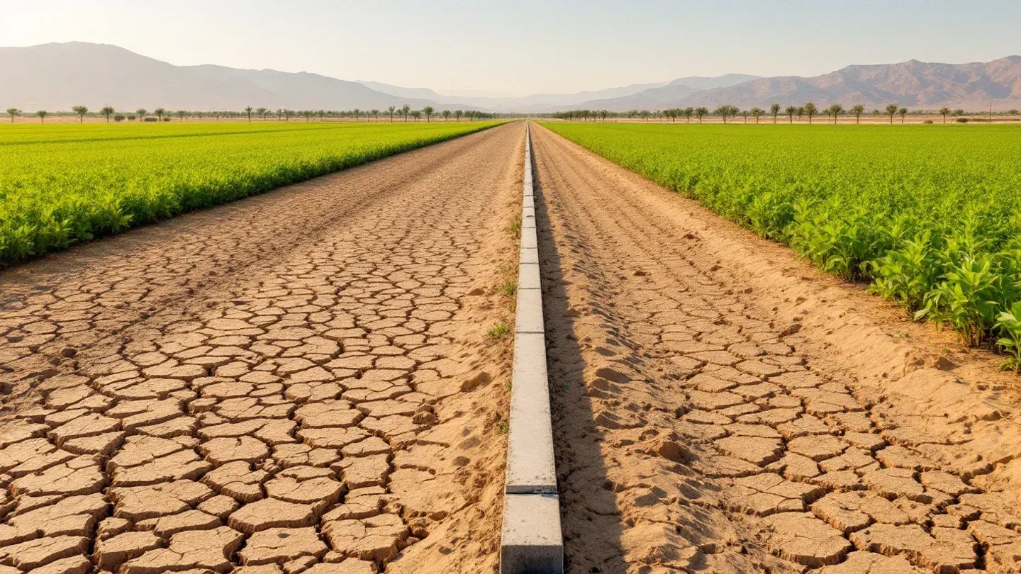
Since late 2022 the federal government has been buying water back from the Lower Basin, much of it from irrigation districts and tribal farms. In May 2023 the three Lower Basin states committed to conserve at least 3 million acre-feet through 2026, with 2.3 million of it compensated by Inflation Reduction Act funds. The money moves through the Lower Colorado River Basin System Conservation and Efficiency Program, which Reclamation runs in three "buckets": near-term conservation that produces immediate water savings in Lake Mead, long-term efficiency projects, and environmental work.
Reclamation publishes the list of agreements. Most of the 2023 to 2026 deals pay $400 per acre-foot. Imperial Irrigation District's agreement for 2024 through 2026, the largest on the list, covers up to 700,000 acre-feet at $808 to $874 per acre-foot. The Metropolitan Water District's deal with the concurrence of Palo Verde Irrigation District covers 387,129 acre-feet. Arizona's Yuma Mesa district signed for 97,117 acre-feet, Mohave Valley for 57,045 and Cibola Valley for 10,800, and the Gila River Indian Community alone agreed to 375,000 acre-feet over 2023 to 2025. The second bucket pays for lasting fixes rather than fallowing: lining 7.61 miles of canals in the Gila River Indian Community's Blackwater area, on-farm efficiency improvements on Gila River Farms, a regulating reservoir to catch spilled canal flows.
Two things stand out for a regenerative farmer. First, the big volumes come from paid fallowing in irrigation districts, not from cities. Second, the Inflation Reduction Act money behind these agreements, $4 billion appropriated in 2022 for drought mitigation in the Reclamation states, remains available only through September 30, 2026, and the $400 agreements signed in 2023 and 2024 were written to end in 2026 at the latest. What pays for conservation once that money lapses is one of the open questions in the post-2026 fight.
What a small irrigated farm can plan for
You cannot control the snowpack or the negotiations. You can control how exposed you are to them.
Know exactly what you hold. Find your water right's priority date, your district's position in its state's priority system and the district's own shortage-sharing rules. Your district board meetings are public; go to them. Comment periods on federal plans are open to you; use them. That is what being involved means in a water fight.
Measure before you cut. Colorado State University Extension's water balance approach to irrigation scheduling tracks what your crop actually uses day by day and tells you when the root zone needs refilling. We covered the hardware side in our piece on soil moisture sensors for irrigation scheduling.
Build the sponge. A soil with more organic matter and living roots holds more of every inch you apply. That is the point of healing the soil, and it is the one water investment no agency can cut. Our 2019 piece on how farms can conserve water still holds.
Pay for the fix with someone else's money where you can. EQIP cost-shares irrigation improvements on the farm, and Reclamation's WaterSMART Water and Energy Efficiency Grants put 50/50 cost-share money into projects by irrigation and water districts, tribes, states and other entities with water or power delivery authority, which is where your canal losses live. Conservation money is political, as we wrote when IRA funds were fought over, so apply while it exists.
Run the fallowing math honestly. If a program pays $400 an acre-foot and your hay nets less than that per acre-foot consumed, the program is the better crop in a dry year. Fallow in rotation, keep a cover on the ground, and plan the return.
Match the livestock to the water. A grazing plan that manages the whole, with stock numbers set by the forage the water actually grows, is safer than feeding bought hay, and it is the difference between a dry year and the start of desertification. Plan shade and stock water now; our guide to heat stress in cattle and the piece on ponds, wells and water lines are places to start.
Think in decades. The 2007 rules have lasted nearly two decades. Whatever replaces them will shape your land's value and your children's options. Thinking long term here means choosing crops, soils and markets that still work at 12 million acre-feet, not 16.5.
The practical close
Between now and October 1, watch three things: the June and August 24-Month Studies (under the current rules, the August study sets the operating conditions for the following year); Interior's post-2026 decision; and your own district's response to both. Join the organizations that follow this closely and speak for working farms. Then plan next year as if the cut is coming. If it does not come, you will have a wetter farm and a better balance sheet anyway.